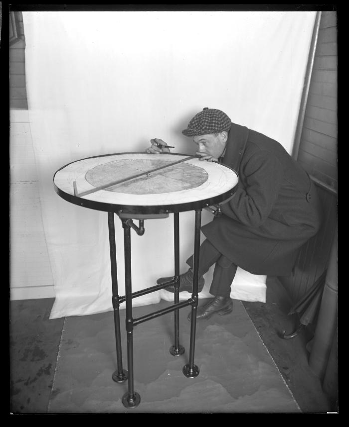
Illustrating operation of weighting with alidade on table adopted for use in fire observation towers
View of Kinne F. Williams, a state forester, demonstrating the operation of an alidade on a table adopted for use in fire observation towers, in conjunction with a United States Geological Survey map. The profile panorama map and U.S.G.S. sheet is shown in position, but without glass cover. An alidade is a surveying/mapping instrument used for determining directions. This image was created to record the forest fire service activities of the New York State Conservation Commission.
Identifier
NYSA_14297-87_1039
NYSA_14297-87_1039
Date Original
1920
1920
Contributor
Cleaves, Howard H.
Cleaves, Howard H.
Language
English
English
Source
Source: New York State Archives, New York (State). Photographic prints and negatives, [ca. 1904-1949], 14297-96A, Box 75, SARA No. 1039.
Source: New York State Archives, New York (State). Photographic prints and negatives, [ca. 1904-1949], 14297-96A, Box 75, SARA No. 1039.
Rights
This image is provided for education and research purposes. Rights may be reserved. Responsibility for securing permissions to distribute, publish, reproduce or other use rest with the user. For additional information see our Copyright and Use Statement
This image is provided for education and research purposes. Rights may be reserved. Responsibility for securing permissions to distribute, publish, reproduce or other use rest with the user. For additional information see our Copyright and Use Statement


