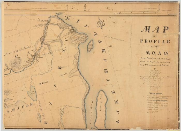
Map and profile of the road from Port Kent to Hopkinton. Map #350A
Map and profile of the road from Port Kent on Lake Champlain to Hopkinton, in the County of St. Lawrence. As laid out by John Richards, Jonah Sanford and Ezra Thurber, Commissioners appointed for that purpose by an act of the Legislature, passed April 16th, 1872. Surveyed in August and September, 1827, per James Frost.
Identifier
NYSA_A0273-78_350A
NYSA_A0273-78_350A
Date Original
1827
1827
Language
English
English
Source
New York State Archives. New York (State). State Engineer and Surveyor. Survey maps of lands in New York State, ca. 1711-1913. Series A0273-78, Map #350A.
New York State Archives. New York (State). State Engineer and Surveyor. Survey maps of lands in New York State, ca. 1711-1913. Series A0273-78, Map #350A.
Rights
This image is provided for education and research purposes. Rights may be reserved. Responsibility for securing permissions to distribute, publish, reproduce or other use rest with the user. For additional information see our Copyright and Use Statement
This image is provided for education and research purposes. Rights may be reserved. Responsibility for securing permissions to distribute, publish, reproduce or other use rest with the user. For additional information see our Copyright and Use Statement


