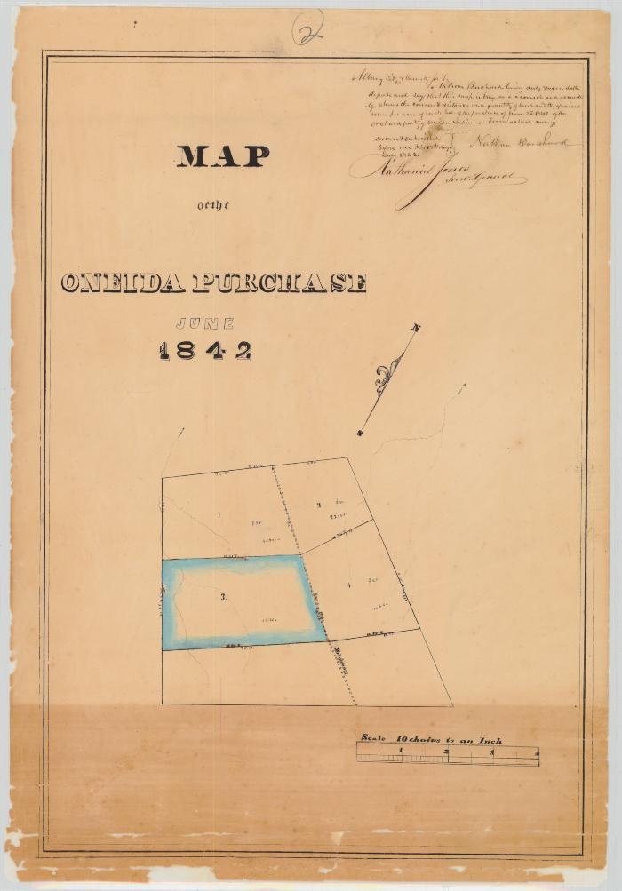
Map of the Oneida Purchase, June 1842
Map of the Oneida Purchase, June 1842. Map reads: "Albany City and County, Nathan Burchard living duly sworn deposes and says that this map is correct and true and accurately shows the courses and distances and the appraised value per acre of each lot of the purchase of June 25th 1842 of the Orchard Party of the Oneida Indians from actual survey sworn and subscribed before me on this day 18th July 1842, Nathan Burchard. Signed by Nathaniel Jones Surveyor General."
Scale of ten chains to an inch. Original map size 38” x 13”.
Scale of ten chains to an inch. Original map size 38” x 13”.
Identifier
NYSA_A0273-78_436_2
NYSA_A0273-78_436_2
Date Original
1842
1842
Language
English
English
Source
New York State Archives, Series A0273-78, Survey maps of lands in New York State, [ca. 1711-1913] (bulk ca. 1772-1913). Map 436, part 2.
New York State Archives, Series A0273-78, Survey maps of lands in New York State, [ca. 1711-1913] (bulk ca. 1772-1913). Map 436, part 2.
Rights
This image is provided for education and research purposes. Rights may be reserved. Responsibility for securing permissions to distribute, publish, reproduce or other use rest with the user. For additional information see our Copyright and Use Statement
This image is provided for education and research purposes. Rights may be reserved. Responsibility for securing permissions to distribute, publish, reproduce or other use rest with the user. For additional information see our Copyright and Use Statement


