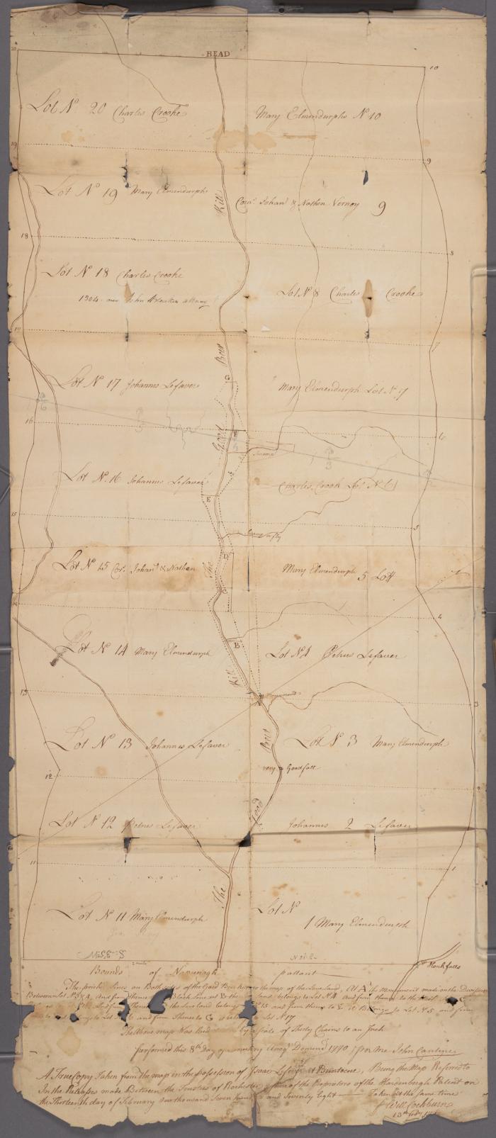
A Map of the Division of the Drowned Lands, showing division of lands on both sides of the Good Beer Kill
A map of the division of the drowned lands, showing division of lands on both sides of the Good Beer Kill. Probably Ulster County. Scale [1:23 760]
Identifier
NYSL_SC17820_B4_F11
NYSL_SC17820_B4_F11
Date Original
1778
1778
Language
English
English
Source
New York State Library, John Kiersted Family papers, SC17820, Box 4, folder 11.
New York State Library, John Kiersted Family papers, SC17820, Box 4, folder 11.
Rights
This record is not part of the New York State Archives' collection and is presented on our project partner's behalf for educational use only. Please contact the home repository for information on copyright and reproductions.
This record is not part of the New York State Archives' collection and is presented on our project partner's behalf for educational use only. Please contact the home repository for information on copyright and reproductions.


